Fridaythorpe to Huggate walk map
This is a classic Wolds walk through gentle rolling hills and valleys. I would recommend some sun protection if walking on a sunny day as the steep sided valleys are a sun trap. Both the villages are interesting photographically but I didn't have the time to explore them and will do at a later date.
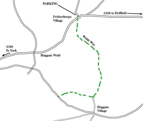
This area is criss-crossed with footpaths as shown on the map but the route I took was from Fridaythorpe village to Huggate village following the Wolds Way and back along the same route. Several longer circular walks could be made using the other footpaths.
To see a detailed OS map, click on this link ( http://www.streetmap.co.uk/map.srf?X=487955&Y=458497&A=Y&Z=115 ) or use O.S map Landranger 106, Grid ref: SE875590. About 35 minutes from York. A 4-5 mile walk.

|

Also in: Photographic Walks in North Yorkshire
 |  |  |  |  |
 |  |  |  |  |
 |  |  |  |  |